
A Construção da Plataforma Digital Interativa do Mapa Etno-Histórico, de Curt Nimuendajú
DOI:
https://doi.org/10.26512/rbla.v8i1.16307Keywords:
Linguística AntropológicaAbstract
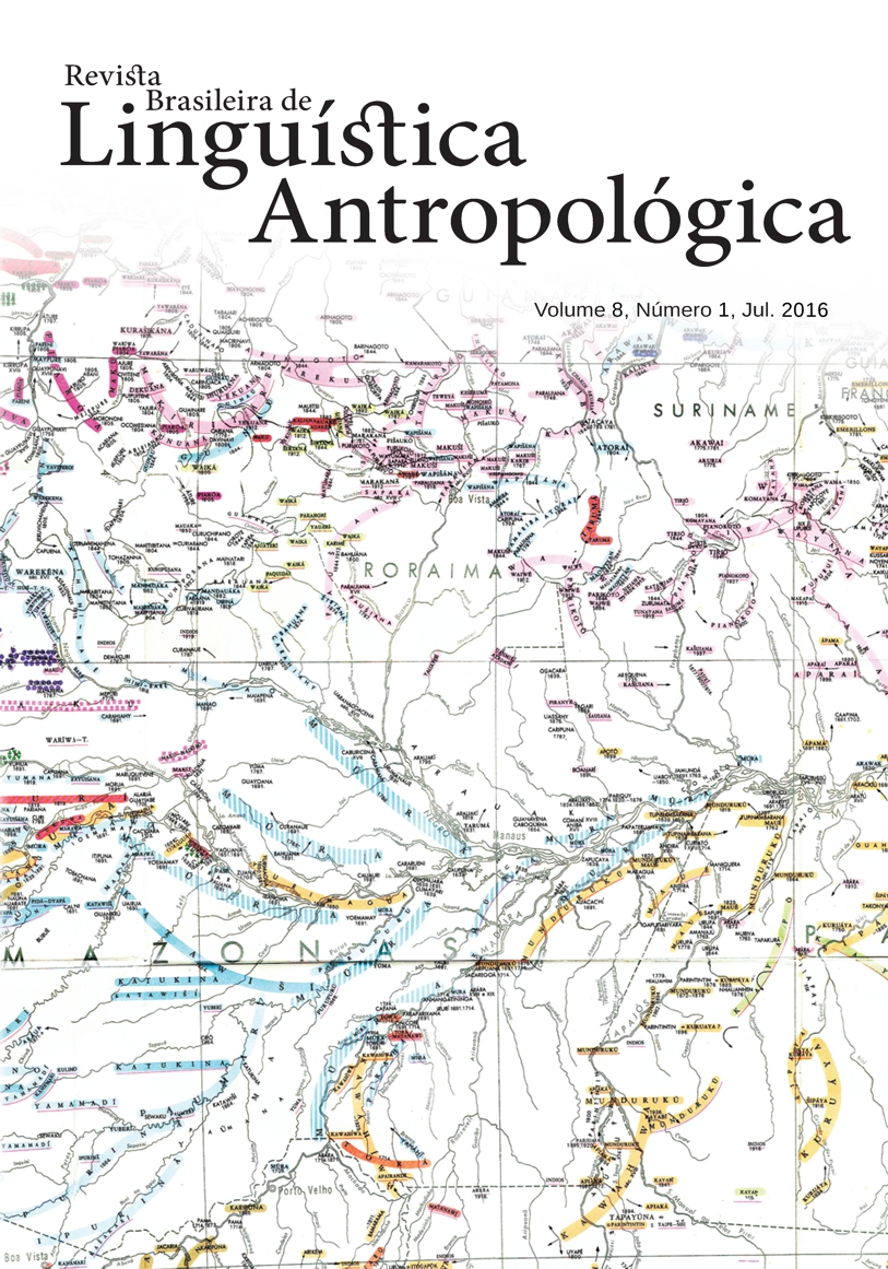
Este artigo apresenta os resultados parciais da pesquisa que visa à documentação das várias versões do Mapa Etno-Histórico de Curt Nimuendajú, produzidas nos anos de 1942, 1943, 1944, cuja primeira versão foi publicada em 1981 pela Fundação Instituto de Geografia e Estatística, em colaboração com a Fundação Nacional Pró-Memória (reeditada nos anos de 1987 e 2002).
References
Brasil. 1981. Mapa etno-histórico de Curt Nimuendaju. Rio de Janeiro: Fundação Instituto de Geografia e Estatística em colaboração com a Fundação Nacional PróMemória.
Brasil. 1987. Mapa etno-histórico de Curt Nimuendaju. 2ª impressão. Rio de Janeiro: Fundação Instituto de Geografia e Estatística em colaboração com a Fundação Nacional Pró-Memória.
Brasil. 2002. Mapa etno-histórico de Curt Nimuendaju. Edição fac-similar. Rio de Janeiro: IBGE; Brasília, DF: Ministério da Educação.
Steward, Julian H. (Ed.). 1946. Handbook of South American Indians. Washington: Government Publishing Office, Smithsonian Institution, Bureau of American Ethnology.
Nimuendaju, Curt. 1943. Mapa Etno-Histórico do Brasil e Regiões Adjacentes. Belém: Museu Paraense Emílio Goeldi. 1 mapa, 185cm x 200cm, escala 1:2.500.000
Nimuendaju, Curt. 1944. Mapa Etno-Histórico do Brasil e Regiões Adjacentes. Rio de Janeiro: Museu Nacional. 1 mapa, 185cm x 200cm, escala 1:2.500.000
Nimuendaju, Curt. 1946 [1942]. “Mapa Etno-Histórico do Brasil e Regiões Adjacentes”. In: Julian H. Steward. Handbook of South American Indians. Washington: Smithsonian Institution
Downloads
Published
Issue
Section
License
Copyright (c) 2017 Revista Brasileira de Linguística Antropológica

This work is licensed under a Creative Commons Attribution 4.0 International License.
Authors who publish in RBLA agree to the following terms:
a) Authors maintain the copyright and grant the journal the right of first publication, and the work is simultaneously licensed under the Creative Commons Attribution License, which allows the sharing of the work with recognition of the authorship of the work and initial publication in this journal.
b) Authors are authorized to assume additional contracts separately, for non-exclusive distribution of the version of the work published in this journal (eg, publish in an institutional repository or as a book chapter), with recognition of authorship and initial publication in this journal.
c) Authors are allowed and encouraged to publish their work online (eg, in institutional repositories or on their personal page) at any point before or during the editorial process, as this can generate productive changes, as well as increase impact and citation of the published work.